|
|
|
|
|
|
|
|


|
|
|
|
|
|
|
|
|
|
|
|
|
|
|
|
|
|
|
|
|
|
Near-Real-Time Remote Sensing Data
Remote sensing is a very promising data collection tool for precision agriculture. However, the limitation in remote sensing data quality/availability has become a major obstacle in the demonstration and adoption of the technology. In this project, we are trying to fine tune a remote sensing system for crop canopy monitoring. Our goal is to eliminate the uncontrollable effects such as timing lighting conditions of the remote sensing images in the in-field variability mapping process.
![]()
|
|
|
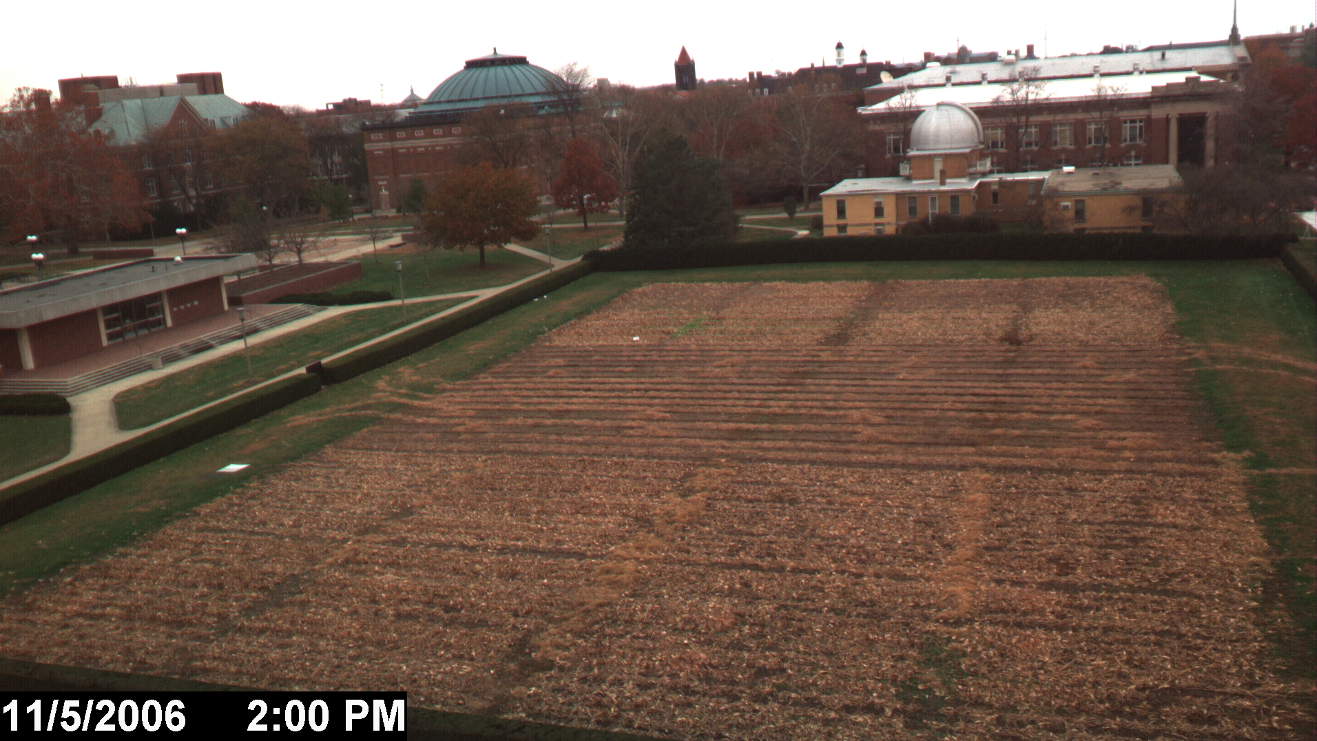
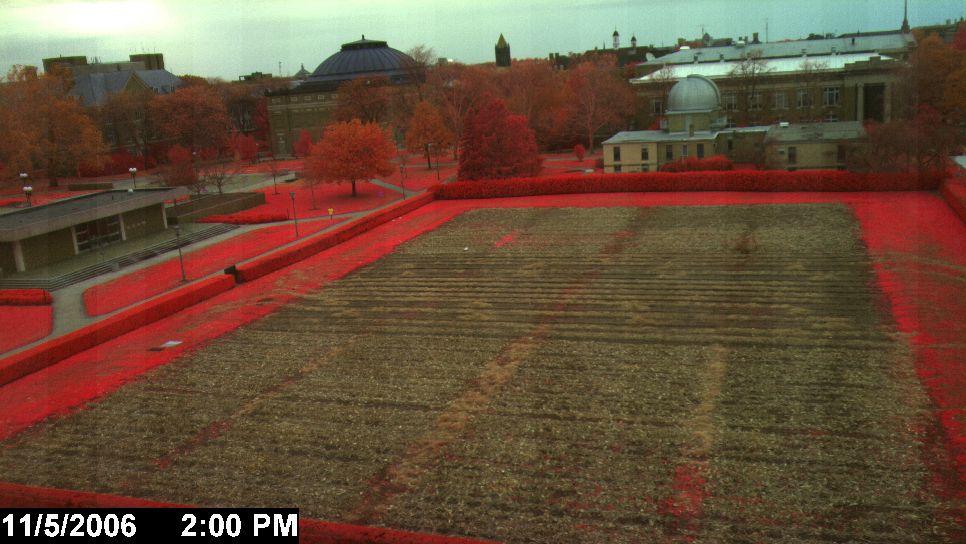
The high-resolution remote sensing camera
is overlooking the Morrow Plots,
the oldest agricultural research fields in the
*- Special thanks to the Dept. of Agricultural and Consumer Economics for providing lab and internet support.
For more information please contact Dr. Lei
Tian in Agricultural Engineering Dept.,